AI & Satellite Imagery: What Goes on in the Depths of the Ocean?

The ocean has always been a vast and mysterious expanse covering over 70% of the Earth’s surface. Historically, understanding what goes on beneath the waves has been as elusive as it has been fascinating. But now, thanks to the remarkable convergence of artificial intelligence (AI) and satellite imagery, researchers have peeled back the ocean’s blue veil.
This latest research offers a historic and exclusive glance into marine activities with unprecedented precision.
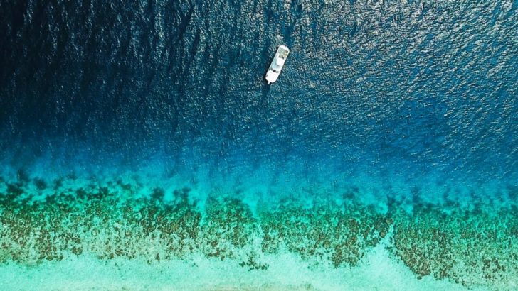
Elle / The research was backed by the Google-backed nonprofit Global Fishing Watch.
A New Era of Ocean Monitoring
The research was spearheaded by the Google-backed nonprofit Global Fishing Watch and published in the prestigious journal Nature. It represents a watershed moment in marine study. By harnessing the power of satellite imagery coupled with advanced AI algorithms, scientists have mapped human activity at sea with a level of detail that was previously unthinkable.
Thus, this effort has exposed a staggering amount of industrial activity that has long escaped the public eye.
Uncovering the Hidden Activities
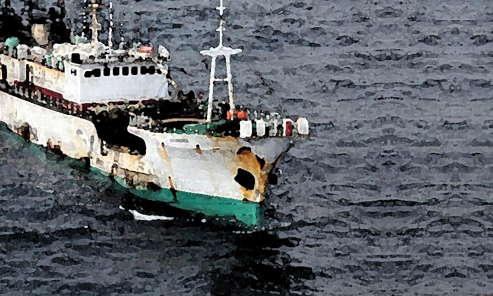
One of the most striking revelations from this research is the extent of industrial fishing operations. The study uncovered that a whopping three-quarters of the world’s industrial fishing vessels are not publicly tracked. This finding is particularly alarming as it raises questions about the sustainability and regulation of global fish stocks.
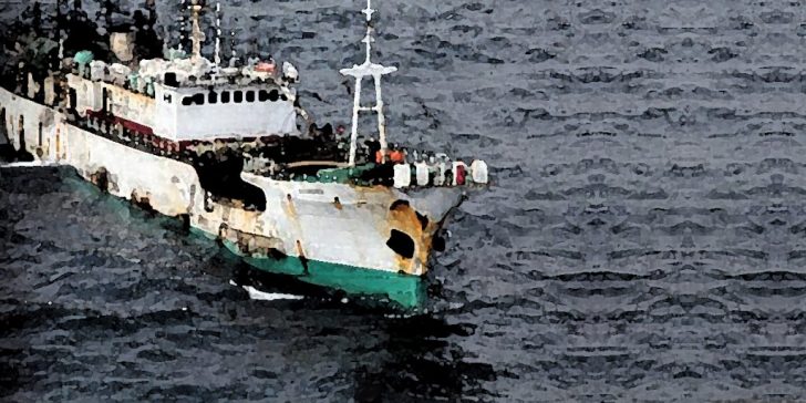
GTN / The research – published in the journal ‘Nature’ – highlights industrial fishing operations in the ocean.
Moreover, the research highlighted that up to 30% of transport and energy vessels also avoid public tracking. These blind spots in monitoring could significantly hamper global conservation efforts.
What Is the Importance of Visibility?
For decades, the lack of visibility into ocean activities has been a significant barrier in marine conservation. The ocean’s sheer size and the vast distances involved have made tracking and monitoring a daunting task. However, with the latest advancements in satellite technology and AI, researchers can now track vessels’ movements and activities with remarkable accuracy.
This increased visibility is crucial for policymakers and conservationists. So, to effectively protect the world’s oceans and fisheries, it is essential to have a precise understanding of where and how resources are being exploited.
AI and Satellite Imagery: A Game Changer
The integration of AI with satellite imagery is a game-changer in oceanic research. AI algorithms are adept at analyzing the massive amounts of data generated by satellite images.
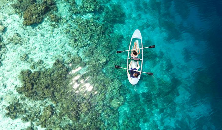
Asad / Pexels / Deep learning and satellite imagery can identify patterns and anomalies that would be impossible for humans to discern.
This capability allows for the detection of illegal fishing activities, unreported shipping routes, and even previously unknown areas of industrial development.
The Future of Ocean Conservation
This groundbreaking research has far-reaching implications for ocean conservation. With better tracking and monitoring capabilities, it is now possible to enforce fishing regulations more effectively, identify illegal activities, and develop more informed policies to manage ocean resources sustainably.
Furthermore, this technology could be pivotal in protecting endangered marine species and habitats by providing real-time data on environmental threats.
While this research has shed light on previously hidden aspects of ocean activities, it also serves as a clarion call for urgent action. The fact that such a significant portion of industrial activity at sea has remained unmonitored is a stark reminder of the challenges facing ocean conservation. Policymakers, industry leaders, and the public must work together to leverage this new technology for the greater good of our oceans.
More in Tech
-
`
Which Foods Should You Avoid When on Holiday?
Vacations are meant to be filled with unforgettable moments, but one wrong meal can turn a dream trip into a health...
September 2, 2025 -
`
Quantum Computing Set to Give Commercial Real Estate a Major Lift
Quantum computing is no longer a concept confined to research labs. It is steadily moving toward commercial use, and with that...
August 26, 2025 -
`
Is Your Office Suffering from ‘Culture Rot’? Here’s How to Spot It
A healthy workplace doesn’t need to be perfect, but it should inspire productivity, respect, and trust. Yet, an alarming trend is...
August 19, 2025 -
`
The Small Businesses That Built Musk’s Empire Are Now Bankrupt
What looked like a dream deal for small businesses working with Elon Musk’s companies turned into a financial nightmare for many....
August 12, 2025 -
`
The $2.3 Billion Food Waste Challenge in Short-Term Vacation Rentals
Short-term vacation rentals may offer comfort, but they also come with a hidden cost—food waste. A recent study from Ohio State...
August 5, 2025 -
`
As Markets Decline, Climate Tech Advocates Push for Alternative Funding
Funding in climate technology didn’t vanish—it simply stopped pretending to be easy. After years of aggressive capital inflows, the sector is...
July 29, 2025 -
`
Cowboy Superstitions and Traditions That Might Surprise You
Picture this: the chute clangs open, dust plumes, and all eyes track a cowboy mid-stride. But what the crowd doesn’t see...
July 22, 2025 -
`
What’s Changing for Student Loans After Trump’s New Spending Bill?
The passing of President Donald Trump’s latest spending bill is shaking up more than just tax brackets and business deductions—it’s poised...
July 16, 2025 -
`
Why Big Tech Is Divided on the Future of Artificial General Intelligence
Fifteen years ago, the founders of DeepMind—Sir Demis Hassabis, Mustafa Suleyman, and Shane Legg—set a bold goal: “Build the world’s first...
July 1, 2025









You must be logged in to post a comment Login